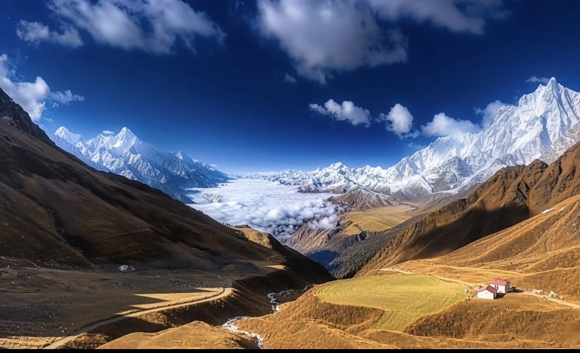
The continuing convergence of the Indian and Eurasian plates shortens, thickens and lifts the crust. The plateau did not take shape in one event: uplift differed in timing and magnitude from region to region.
The Third Pole is not “the Switzerland of the East.”
The Tibetan Plateau stands at an average elevation above 4,000 m and covers some 2.5 million km². The Himalaya form its southern rim, the Kunlun–Qilian system its northern; eastward it gives way to the Hengduan Mountains. This is no destination defined by a single celebrated summit, but a vast geographic unit assembled from overlapping ranges, plateau surfaces, broad valleys and gorges.
Source: Chengdu Center of the China Geological Survey, The Tibetan Plateau: Roof of the World, Water Tower of Asia.
01 / Scale
Europe builds its imagination around a single famous peak; here you need an entire atlas of ranges.
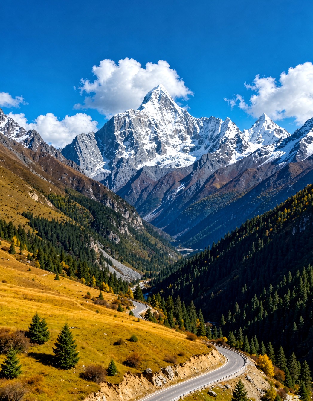
The Jungfrau, Mont Blanc and the Matterhorn are the unmistakable landmarks of the Alps; West Sichuan and Tibet hold peaks just as able to be remembered on their own — Minya Konka (Gongga), Mount Siguniang, Genie, Yala, Yangmaiyong, Namcha Barwa and Mount Kailash.
Yet to describe this country properly you cannot stop at “a Chinese Jungfrau.” The Hengduan Mountains are among China’s longest, widest and most characteristic north–south systems, with ranges running parallel to rivers; inside the plateau lie the Nyainqêntanglha, Gangdise, Tanggula, Kunlun and Himalaya as well. Famous peaks are only the doorway; the architecture of the ranges is the subject.
02 / The Sculpting of the Land
First uplift, then incision: first a plateau, then a thousand landscapes.
The Himalaya form the high southern margin, while the Kunlun, Tanggula and Gangdise–Nyainqêntanglha systems frame the interior. West Sichuan sits on the southeastern rim, where the terrain turns abruptly.
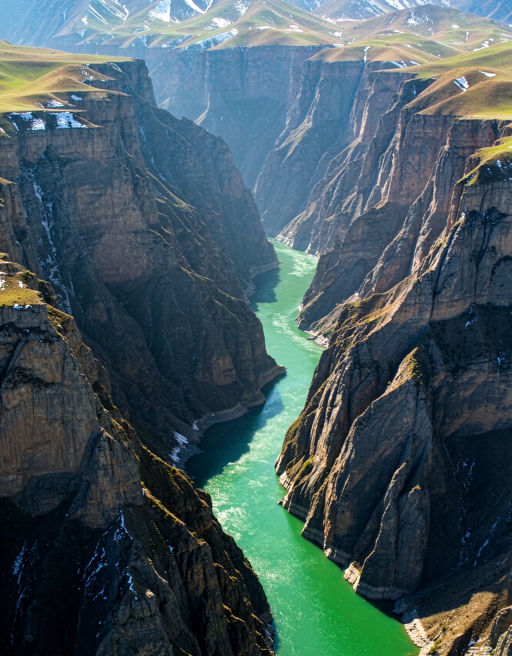
The Jinsha, Lancang and Nu rivers cut down hard along structural weaknesses, producing the Hengduan signature of high mountains, deep gorges and rivers running parallel to ranges.
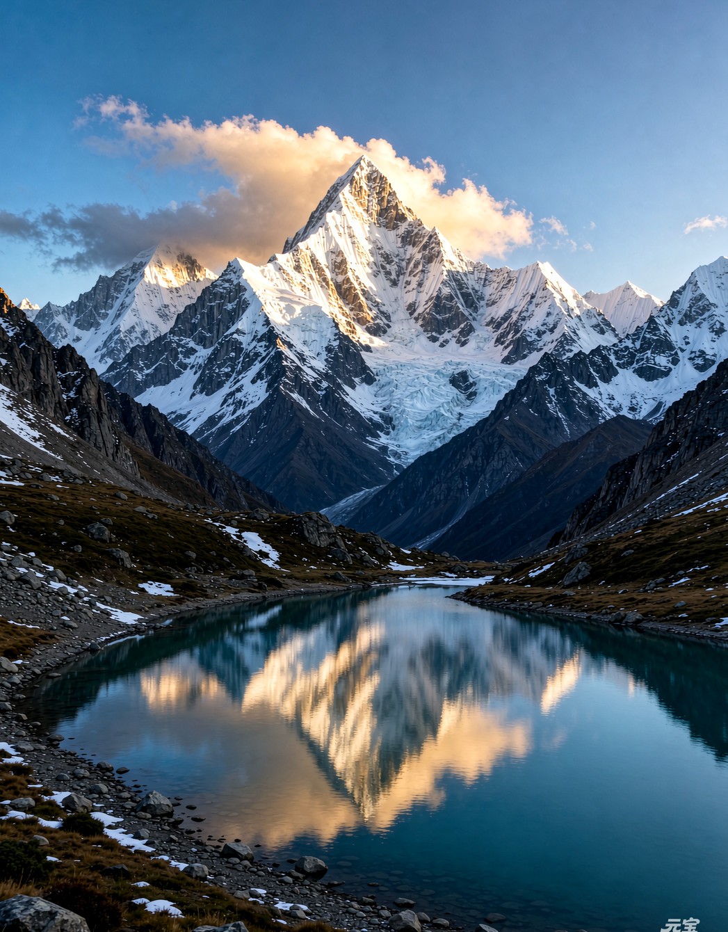
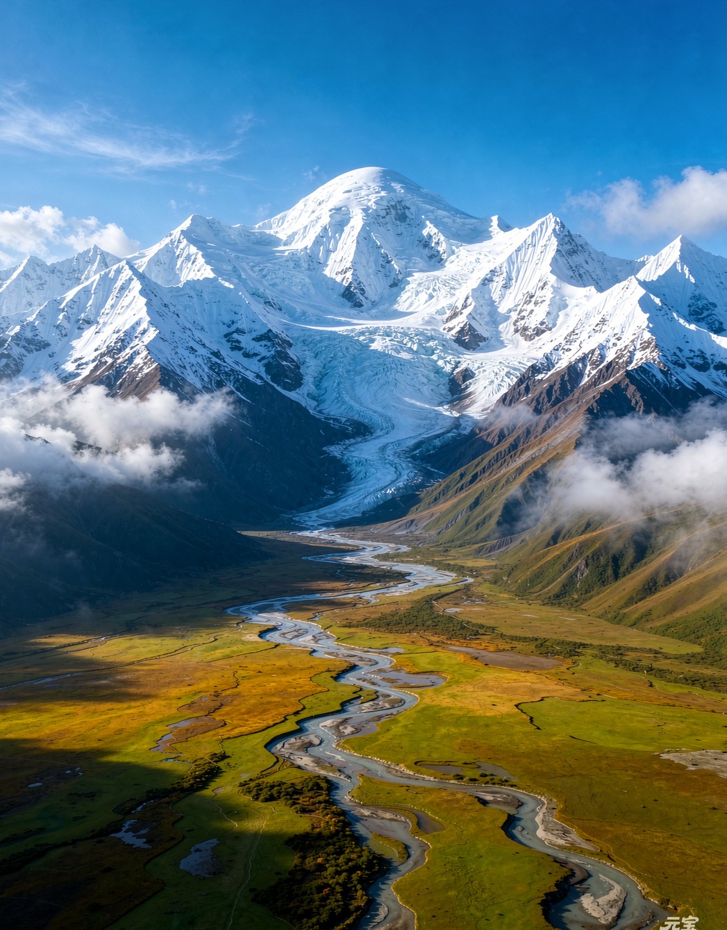
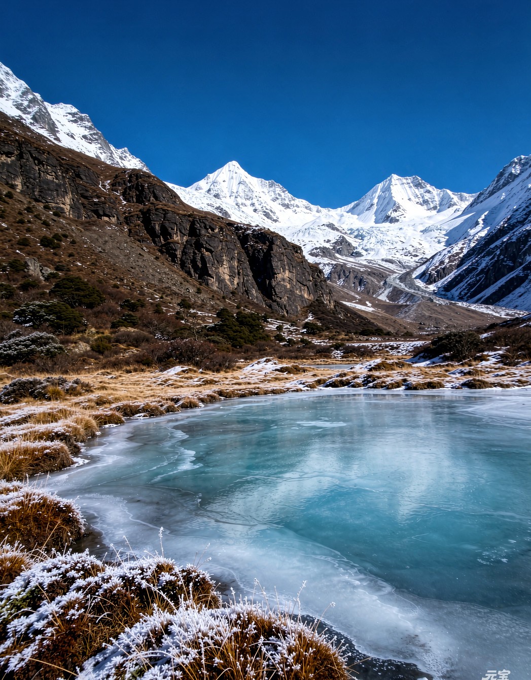
Glaciers carve cirques, trough valleys and moraines; frost weathering spreads fields of broken stone and slopes of scree. Snow peaks, lakes, grasslands and deserts are chapters of one and the same geological process.
Sources: Institute of Geographic Sciences and Natural Resources Research, CAS; Institute of Tibetan Plateau Research, CAS (Hengduan Mountains feature).
03 / Not One Single “Paradise”
Six regions, six entirely different scales of travel.
① The Daxue Range — Minya Konka
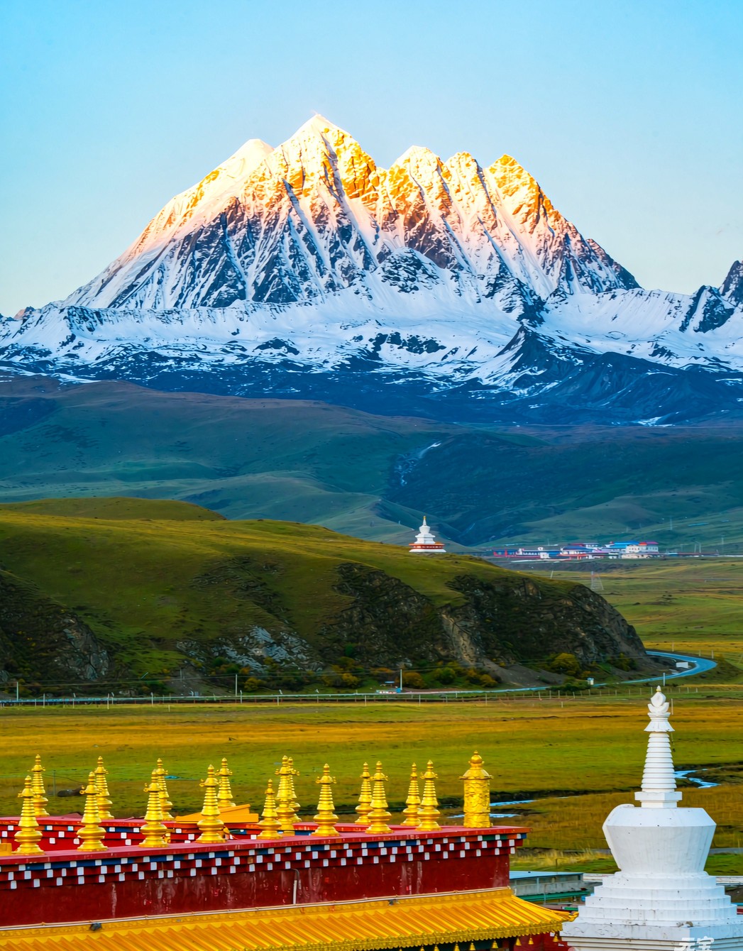
Snow peaks · Glaciers · Vertical forestWest of the Chengdu Plain the land climbs swiftly into a world of extreme peaks. Around Minya Konka, glaciers, rock walls and deeply incised valleys stand side by side: a startling lesson in relative relief rather than a postcard of one isolated snowy mountain.
② The Shaluli Mountains — Genie and Haizishan
Rolling plateau · Ancient ice cap · GrasslandBroad, gentle highlands strewn with lakes; relics of an ancient ice cap have left stone fields and clusters of alpine lakes. Genie’s curving massif, Lenggu Monastery and the wide grassland valleys offer a grandeur quite unlike that of sharp pyramidal peaks.
③ The Three Parallel Rivers of the Hengduan
Deep gorges · Great rivers · Vertical beltsNot a “gorge attraction” but a relationship between mountains and rivers. The Jinsha, Lancang and Nu run north–south between parallel ranges, and from valley floor to snowline the climate and vegetation change layer upon layer.
④ The Wetlands and Grasslands of Northwest Sichuan
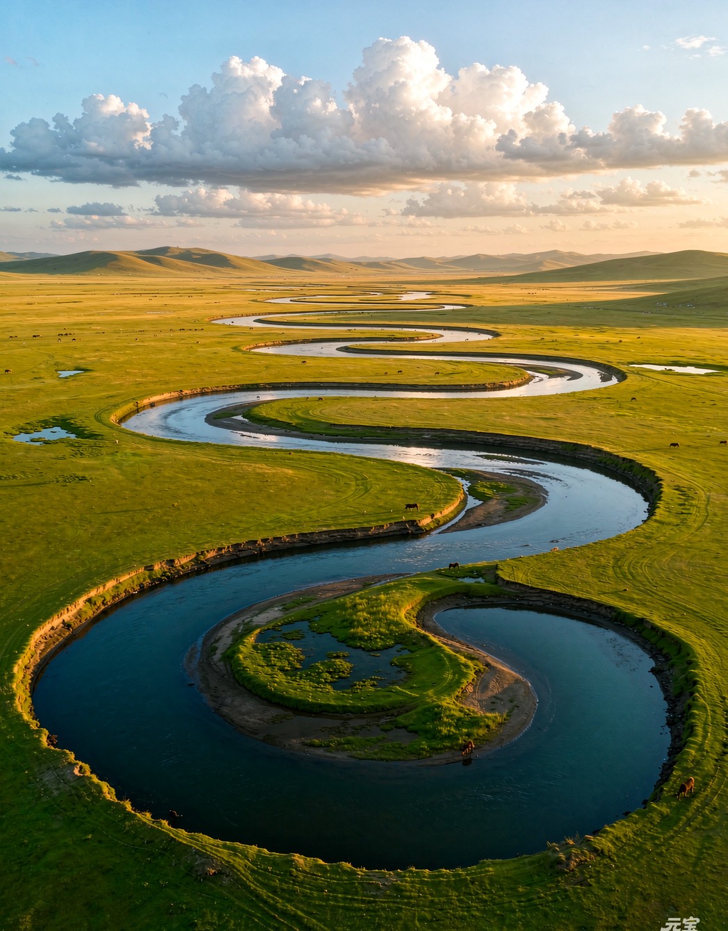
Grassland · Wetland · MeandersThe Zoige and Hongyuan country is a reminder that the plateau is not only summits you look up at, but meadows, meanders and marshes you look down on. Openness here is not emptiness; it is another kind of abundance.
⑤ Nyainqêntanglha — The Southern Tibetan Valleys
River valleys · Forest · GlaciersSnow peaks, farmland, monasteries and broad valleys set side by side. Landscapes toward Lhasa and toward Nyingchi differ greatly; Nyingchi, moistened by air off the Indian Ocean, brings forest and ice into close company.
⑥ Gangdise — Ngari — Changtang
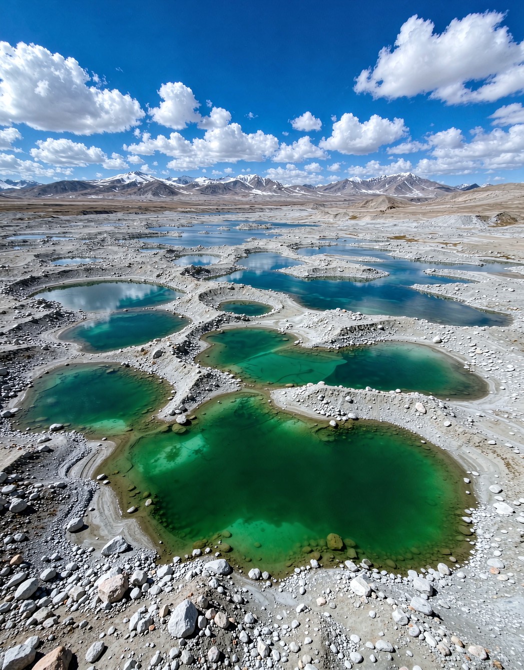
Desert · Earth forests · Endorheic lakes · Distant rangesThe deeper into the plateau, the drier, vaster and gentler the land becomes. Mount Kailash, Lake Manasarovar, the Zanda earth forests and the Changtang desert should not be packaged as one and the same “blue lake and snow peak.”
04 / A Lexicon of Landforms
Replace the vague “beautiful as heaven” with specific landforms.


05 / The Ranges of the World Compared
Compare scale; do not manufacture winners.
RegionScale and landscape keywordsHow it reads to a traveller
The Alpsc. 1,200 km; Mont Blanc c. 4,810 m; alpine lakes, meadows, glaciers and mountain villages.Transport and mountain services are mature; famous peaks, towns and hiking routes knit tightly together.
Rocky MountainsNorth America’s backbone range, running some 4,800 km; high peaks, forest, basins and wilderness together.The national park system and long-distance road trips are central to the experience.
The Hengduan MountainsRanges and rivers run parallel north–south; Minya Konka at 7,556 m; enormous relief within short distances.Landscape density is extremely high, but roads, weather and geohazard risk demand more cautious itineraries.
The Tibetan PlateauA high-altitude system of multiple ranges, broad valleys, basins, lakes, grasslands and tundra.Not something a single “snow-peak highway” can cover; allow time between regions for acclimatisation and travel.
Range lengths and elevations follow public materials from the Chinese Academy of Sciences and China Science Communication; figures may differ slightly between institutions owing to range boundaries and methods of measurement.
06 / One Map for the Anatomy of the Ranges
Snow peaks are not scattered dots; they belong to a single skeletal system of ranges.
The map below uses an AMap (Gaode) base map and verifiable coordinates. Click a peak to see the range it belongs to and how to approach it on a journey. It is not off-road navigation, nor a substitute for live notices from the parks.
The points are macro reference markers for understanding spatial relationships; they do not mark climbing routes, passes or viewing platforms. Base map © AMap (Gaode). It is provided for understanding the broad relationship between ranges and does not constitute navigational guidance.
07 / How to Actually Enter It
Three routes — not a checklist of photo stops, but three ways of understanding the plateau.
Chengdu — Kangding — Xinduqiao — Yajiang — Litang — Daocheng Yading — Xiangcheng — toward Shangri-La. The point is not to rush every pass but to watch the terrain change between the Dadu, Yalong and Jinsha drainage basins; Minya Konka, Haizishan and Yading each stand for a different type of landscape.
Suits: first journeys to the plateau, landscape photography, geology and nature observation. Note: nights at altitude should be gained gradually.Chengdu — Kangding — Yajiang — Litang — Batang — Markam — Baxoi — Bomi — Nyingchi — Lhasa. Read the Nu River gorge, Rawok Lake, Laigu Glacier, the Bomi forests and the Nyingchi valley as one continuous change, not a string of attractions passed on the way.
Suits: travellers with plateau driving experience and an appetite for long distances. In the rainy season, assess rockfall, landslides and road closures carefully.Lhasa — Shigatse — Saga — Purang — Zanda — Shiquanhe — Gerze — toward Coqên. The core is the openness, desert, endorheic lakes and distant ranges of the plateau interior, not a repeat of West Sichuan’s forested snow peaks. Design it separately around season, road conditions, supplies and permits.
Suits: experienced long-distance travellers who value culture and wilderness. Some areas require frontier permits; do not enter unpopulated country on this outline alone.08 / The Deepest Respect Is Not to Photograph It Falsely
A remote place is not one “no one has been to,” but one that should not be consumed crudely.
West Sichuan and Tibet hold many established scenic areas, villages, monasteries and roads — and also protected areas and remote country that require permits, guides and thorough preparation. To call it “undeveloped” easily erases the lives of the people who live there. More accurately: its spatial scale far exceeds a handful of popular sights, and many places remain unsuited to large-scale, fast-paced tourism.
Do not drive over meadows, chase wildlife, fly drones at monasteries and crowds, publish the precise coordinates of fragile sites, or ask local people to give up their living space for an “empty shot.” Bring back photographs; leave no rubbish behind.